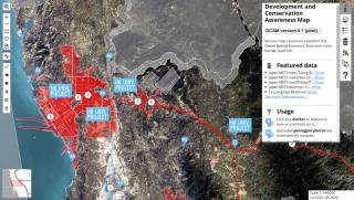
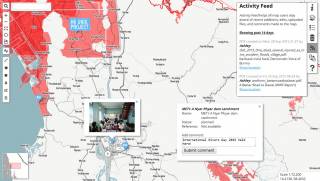
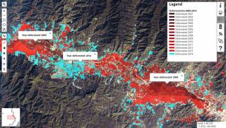
The Development and Conservation Awareness Map (DCAM) is piloted in Myanmar's Tanintharyi Region with civil society groups and international NGOs. The objective is to coordinate often contradictory knowledge of development projects, at any stage of planning and operation, impacting the region and to facilitate dialogue. This is paramount given the current climate of domestic and international investment in Tanintharyi, the complex state of dual-administration, the simultaneous presence of several international NGOs, the persistence of displaced persons and ethnic conflict, the drafting of new land use plans, forest laws, and impact requirements, and not least the region's crucial ecological value. As new plans for projects are discovered or as existing projects change course, they can be added to the map via simple drawing tools, uploading, and commentary. DCAM is intended to support a working knowledge of these landscapes.
This effort to compile and present spatially explicit data is not alone in Myanmar, and in fact, several are in the pipeline by several organizations for pilot in Tanintharyi. DCAM is at most meant to fulfil a transitional but necessary role, importantly to facilitate equitable dialogue during the ongoing formalization of land uses in conflict regions. DCAM recognizes the importance of Tanintharyi's very recent conflict histories. DCAM is also developed as a pedagogical tool in use at the University of Hong Kong to both coordinate and disseminate innovative landscape planning strategies developed in programs in landscape architecture. These maps and strategies provide insight into geographic and landscape knowledge from outside the environmental, biological and social sciences.
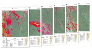
DCAM can be viewed and downloaded in different formats:
- 2022 printable maps at 1:50,000 scale: Download Map Sheets
- 2017 printable map at 1:500,000 scale: Download TIF
- 2015 online public platform: View Online


