Course abstract:
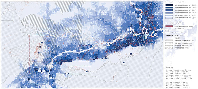
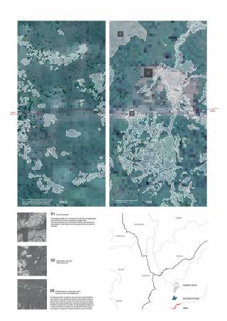
Design, as do many disciplines, has a difficult relationship with nature. It's also difficult to commit the act of "design" in places detached from the urban, such as national parks. This advanced computation-theory seminar follows Chinese infrastructure investment into the world's most biodiverse regions to explore the potential of computational design for supporting environmental conservation. Laura Kurgan noted in her 2004 exhibit "Monochrome Landscapes" that territories of a single color, such as the Amazon, are often the most contested. For their term projects, students visually narrate the dynamics of such densely mosaicked landscapes in the Peruvian Amazon: Forests, logging, degradation, and settlements implicated by a transoceanic highway that crosses coastal desert, highland, montane and cloud forests, and the Amazon Basin.
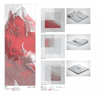
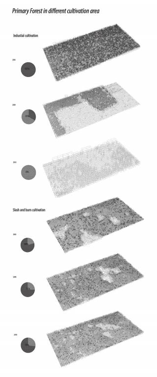
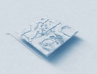
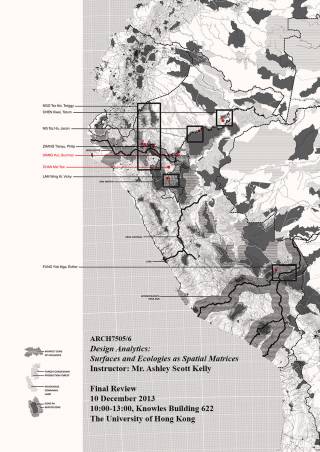
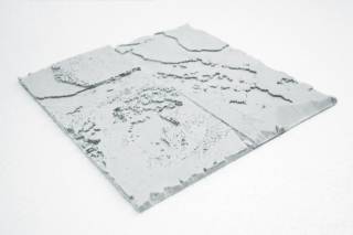
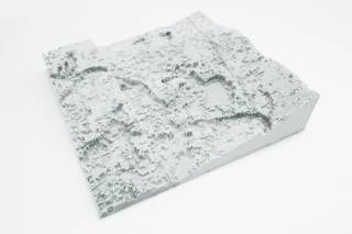
Design Analytics proposes a unique amalgam of computational design and environmental planning. Conservation and development discourse frequently decouples global-regional models from the local specifics of place. Building upon previous seminars as part of Harvard's South America Project, we critically return to the local, organic and ecologic as moments of exception and the strongest point of entry for the fields of architecture and landscape. Lectures and seminars cover design discourse on representation and computation, which is juxtaposed with critical literature on conservation and regional development programmes and the scientific technologies and instruments enabling them. Through foundational and experimental lessons in GIS, topologies, databases, complex surface creation, and data manipulation, students gain greater dexterity and control over their geometry, data types, and cross-platform workflows useful from regional to site-scale works and information visualization. Students repurpose the spatial matrix as a tool for working between complex geometry (e.g., contours, reserve boundaries, agricultural settlements) and heavy data (e.g., deforestation, endemic species distributions). Student projects culminate in densely annotated plans and 3D-printed surfaces of a one-square-kilometer section of the rainforest.


